Rivers That Rush Like Waterfalls Shape the Land and the Sea
Fast, Clear Rivers Create Vast Alluvial Fans
To understand Toyama’s sushi culture, it is essential to look at the role of the seven major rivers that flow through the prefecture. From east to west, they are the Kurobe, Katakai, Hayatsuki, Joganji, Jinzu, Sho and Oyabe rivers.
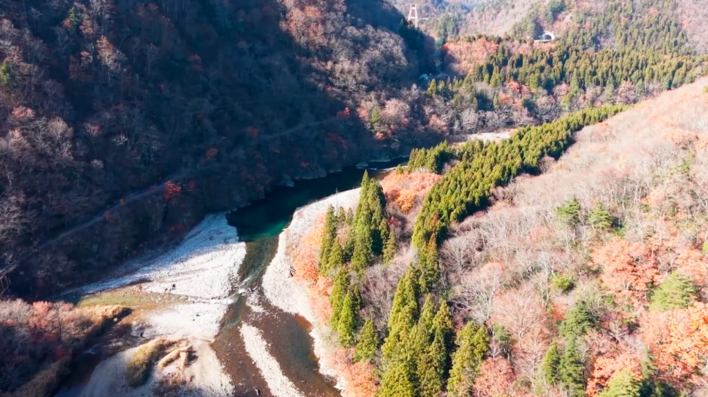
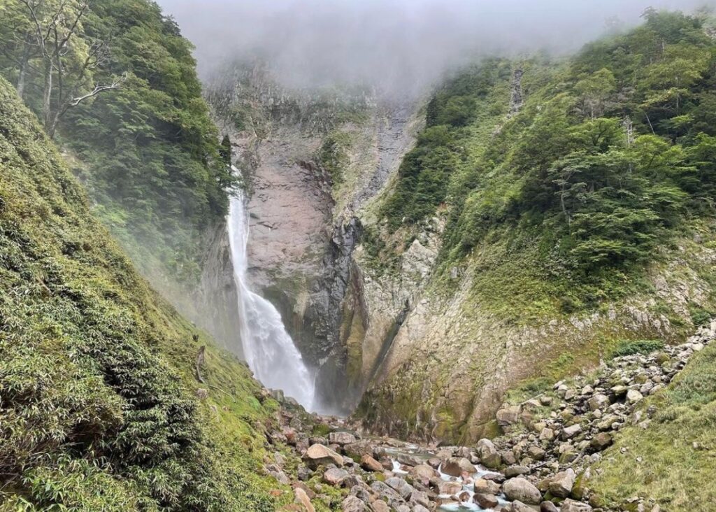
Many of Toyama’s rivers are steep and fast flowing, often described as rushing like waterfalls. Their strong current carries sand and mud straight to the sea, leaving only coarse gravel and stones on the riverbed.
This clear water and rocky riverbed create ideal conditions for freshwater fish such as ayu, or sweetfish, and provide suitable spawning grounds for cherry salmon. Insects that serve as food are abundant, and during cherry blossom season, cherry salmon swim upstream. At the peak of the Meiji era (1868–1912), annual catches reached as much as 160 tons, supplying the key ingredient for Toyama’s iconic masu sushi.
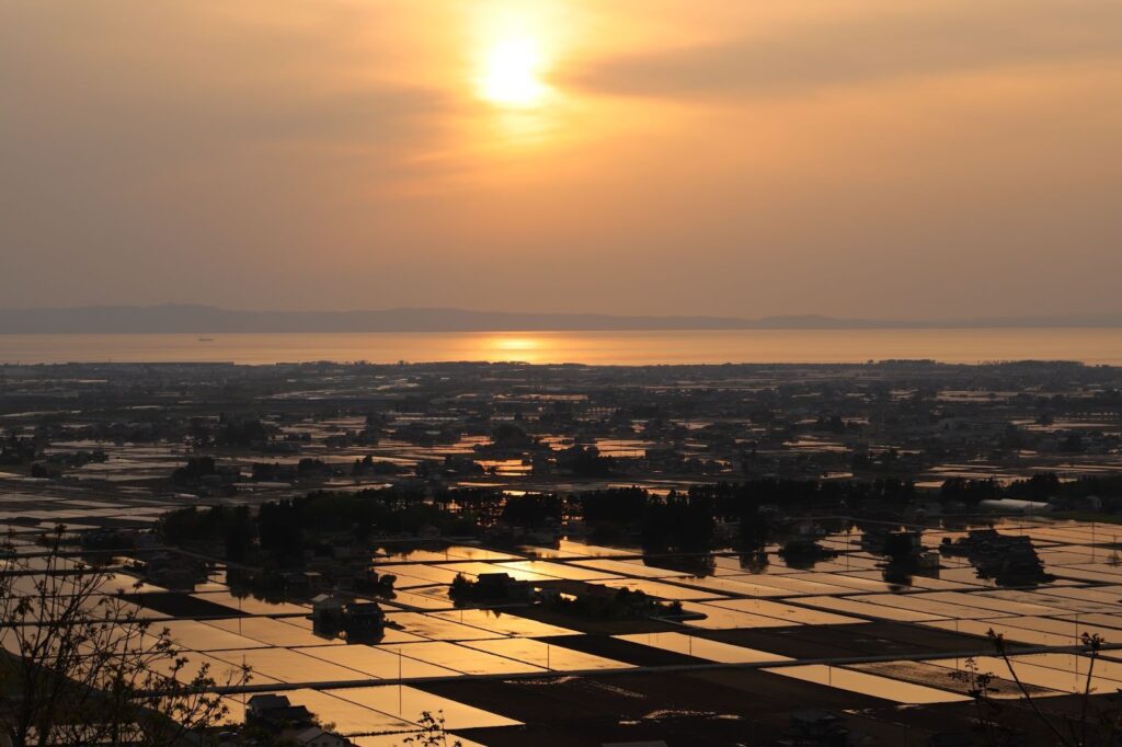
Fed by the Tateyama Mountain Range and the Hida Highlands, these rivers have carried stones and sand for thousands of years, gradually forming vast alluvial fans across the prefecture.
These areas were once prone to flooding, and the highly permeable soil made farming difficult. Through the efforts of earlier generations, however, the land was transformed into one of Japan’s leading rice producing regions. Today, these alluvial plains form the foundation of daily life and food culture in Toyama.
Fast Rivers Also Shape the Seafloor
While the rivers steadily form alluvial fans under normal conditions, heavy rainfall sends massive volumes of sediment rushing into Toyama Bay. The force of this flow carves deep submarine canyons close to the coast.
These deep seafloor valleys, known locally as aigame, are home to species such as shiroebi, or glass shrimp, often called the jewels of Toyama Bay. They play a vital role in supporting the region’s rich fisheries.
Beneath the alluvial fans, an estimated 4 billion tons of groundwater flows each year. Some of it emerges as springs within the plains, supplying water for daily life. The rest continues underground and eventually wells up from the seafloor of Toyama Bay.
This groundwater is rich in forest-derived nutrients such as nitrogen, phosphorus, potassium and silica. These nutrients fuel the growth of large amounts of plankton in the bay.
Rivers that begin in the mountains, pass through alluvial fans and flow into the sea act as pipelines in the water cycle. Along the way, they nurture countless forms of life and continue to support Toyama’s food culture at its very foundation.
Photo by Masafumi Kashi and photo courtesy of oyama Tourism Organization
SHARE to SNS